
FAQs
- Vehicle lanes
- Sidewalks
- Cycling paths
- Transit stops
- Street trees and landscaping
- Underground utilities
- Major Arterial roads, such as Upper James Street or Main Street, move large volumes of traffic across the city.
- Minor Arterials, such as portions of Barton Street, connect communities and support moderate traffic volumes.
- Collector roads, like Greenhill Avenue (in some segments), connect neighbourhood streets to arterial roads.
- Local roads primarily provide access to homes, such as residential streets in Waterdown, Stoney Creek, or Ancaster neighbourhoods.
- Plan for future growth across the city including areas like Stoney Creek,Waterdown, Binbrook, and the Airport Employment Growth District
- Improve safety city-wide aligned with Vizion Zero action plan
- Support walking, cycling, transit, and driving
- Align with Complete Streets principles
- Ensure the road network functions efficiently as development occurs
- Protected cycling facilities on Cannon Street
- Traffic calming and pedestrian improvements in neighbourhood areas
- Transit priority planning along the A-Line corridor (James Street/Upper James Street)
- Even where a corridor like Dundas Street in Waterdown supports transit planning, widening may not occur due to right-of-way constraints and community context.
- Improvements on roads like Barton Street may focus on safety, streetscape, and transit rather than simply adding lanes.
- Detailed studies
- Public consultation
- Council approval
- Funding
- Wider sidewalks in BIAs such as Downtown Hamilton
- Protected cycling infrastructure
- Transit priority measures
- Street trees and landscaping
- Accessibility upgrades
- Match design to how the road functions
- Improve intersections and crossings
- Support traffic calming on neighbourhood streets
- Reduce conflicts between vehicles, cyclists, and pedestrians
- James Street/Upper James Street (A-Line) is being planned as a priority transit corridor.
- Main Street and King Street support higher levels of transit service.
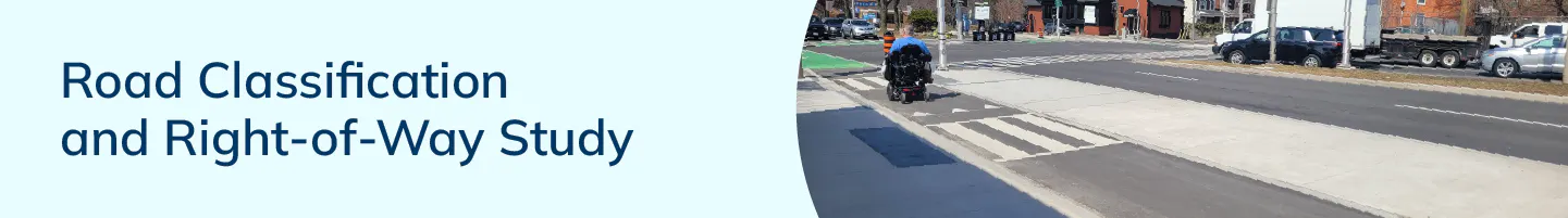
What is a Right-of-Way (ROW)?
The Right-of-Way is the total public space from one property line to the other. It includes:
For example, along Main Street, the ROW includes traffic lanes, sidewalks, bus stops, and space for future Complete Streets improvements.
What is road classification?
Road classification describes the role a road plays in the city’s transportation network.
For example:
This classification helps guide how roads are designed and improved.
Why is the City doing this review?
Hamilton is growing and evolving. This review helps us:
What are Complete Streets?
Complete Streets are designed for everyone, including pedestrian, cyclist, transit users, drivers, and people of all ages and abilities.
Examples in Hamilton include:
Complete Streets aim to balance mobility, safety, accessibility, and community character.
Does this mean roads will be widened?
Not necessarily.
Identifying a future Right-of-Way width does not mean construction will happen immediately.
For example:
Any road widening would require:
Will this affect my property?
For most residents, there is no immediate impact.
In some cases, when properties redevelop, such as along intensification corridors like Main Street or Upper James Street, a small amount of land may be required to achieve the planned Right-of-Way width.
Existing properties are not automatically impacted.
Does a wider Right-of-Way mean more traffic?
No.
Additional space may be used for:
The goal is not simply to increase vehicle capacity, but to support a balanced transportation network.
How does this improve safety?
Clearly defining a road’s role helps the City:
For example, neighbourhood streets in areas like Crown Point or Kirkendall may prioritize access and safety, while arterial roads prioritize mobility.
How does transit fit into this?
Some roads are key transit corridors.
For example:
These corridors may require space for transit stops or future transit priority measures.
When will decisions be made?
After public consultation and technical review, recommendations will be presented to City Council through an Official Plan Amendment. Council approval is required before changes take effect.