
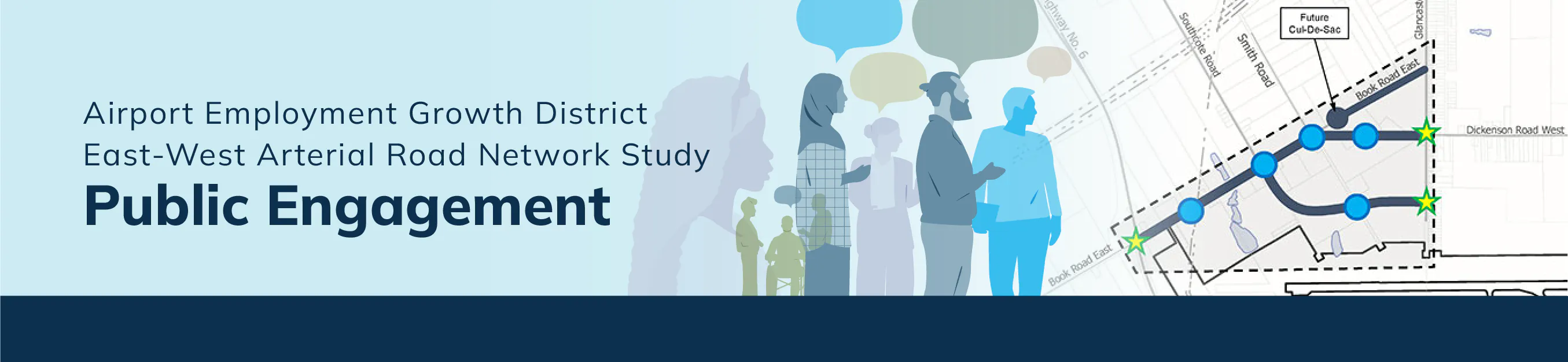
Airport Employment Growth District East-West Arterial Road Network Study
The City of Hamilton is conducting an Environmental Assessment study to plan key road improvements in the Airport Employment Growth District. The study will look at widening Book Road East, extending Dickenson Road West, creating a new east-west arterial road between Southcote Road and Glancaster Road, and closing the eastern end of Book Road East with a cul-de-sac. These improvements will address multi-modal transportation needs that would support transit, walking and cycling.
These upgrades are needed to support future growth and to address transportation needs identified in the Airport Employment Growth District Transportation Master Plan (2011, 2016, and 2024).

We want to hear from you!
Your experiences are important and will help guide the City plan for better roads.
Who's Listening
-

Phone 905-546-2424 ext 6412 Email iplanning@hamilton.ca -
AM
Phone 905-685-5049 ext 4211 Email amcgregor@rvanderson.com
Level of Engagement
Engagement Level: Consult
Our Commitment: Staff will get your feedback on the project/initiative.
We promise to:
- Keep you informed.
- Listen to and acknowledge your concerns or hopes for the project.
- Provide feedback to you on how the input received was used to inform the project.