
FAQs
About the Study
What is an MCEA process?
An MCEA is a Municipal Class Environmental Assessment. This study falls under Schedule C Phases 1 through 4 which includes Identifying the Problem or Opportunity, Developing Alternative Solutions to address the problems and opportunities, Developing Alternative Design Concepts for the Preferred Solution, and preparing an Environmental Study Report.
When is the study happening?
The study was initiated in December 2024 and is targeted to be completed in the first quarter of 2026.
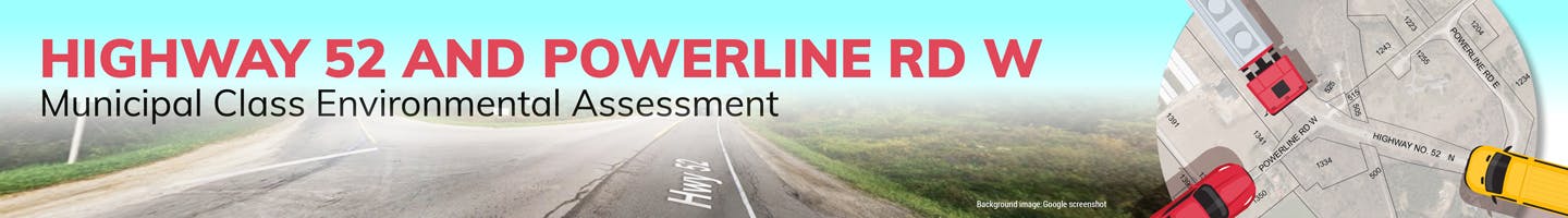
What section of Highway 52 is covered by the study?
The study will focus on transportation improvements on and adjacent to the section of Highway 52 between Powerline Road West and Powerline Road East and will include examining the function of and constraints at, both intersections.
Will neighbouring properties be impacted by the study?
The proposed improvements to the transportation infrastructure will be focused on the public right-of-way (ROW). Should this not be feasible, the project team will initiate timely and thorough communication with potentially impacted property owners.
Traffic and Safety
What are you doing to improve safety?
We will review the history of collisions, sightlines, road gradients, entrance locations, lane configuration and other physical and technical aspects of the corridor to identify areas which may benefit from design changes that would improve safety for all road users. We will also look at pedestrian and cycling crossings and connections. Improving safety and connectivity for both vehicles and active transportation users is paramount in this study.
Active Transportation
What is Active Transportation?
Active Transportation refers to the movement of people or goods powered by human body movement. This includes walking, cycling and the use of human-powered or hybrid mobility aids, such as wheelchairs, scooters, e- bikes, rollerblades, and more.
Will there be improvements to active transportation infrastructure?
For this projects, improvements to active transportation infrastructure will focus primarily on the crossing of Highway 52 with and local connections to, the Rail Trail corridor.
Natural Environment
How will the project consider the natural environment?
As part of the environmental assessment study, an inventory of the existing natural environment in the area will be completed through field investigations, background research and consultation with the Conservation Authority. A Natural Heritage Assessment Report will be prepared to summarize the findings. This will allow the Study Team to evaluate potential impacts of alternatives on the natural environment.
How many trees will be removed?
Tree removal may be required as part of this project. At this time, the potential quantity of tree removal is not known, but impacts to the trees will be avoided and mitigated to the extent possible.