
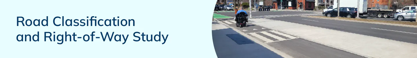
Road Classification and Right-of-Way Study
The City of Hamilton is undertaking the Road Classification and Right-of-Way Study to modernize how our streets are defined, planned, and designed. This work builds on the 2018 Citywide Transportation Master Plan and the Complete Streets Design Guidelines, advancing the City’s goals for safety, sustainability, equity, and climate resilience.
About the Study
The 2018 Citywide Transportation Master Plan (TMP) identified 71 supporting actions to advance the City’s Strategic Plan vision, goals, and objectives. Among these, the implementation of Complete Streets Design Guidelines was recognized as a transformative initiative. Specifically, Action 37 directs the City to harmonize the road classification policies in the City’s Urban and Rural Hamilton Official Plans with the Complete Streets approach by making amendments to the Official Plans.
Study Purpose
The Road Classification and Right-of-Way Study aims to modernize how the City defines and manages its road network to reflect contemporary transportation, land use, and environmental objectives. It integrates Complete Streets principles, climate adaptation strategies, and equitable design considerations into the City’s planning framework.
Traditional road classification systems primarily focus on vehicle movement, transit operations, and goods delivery. However, urban streets now serve multiple purposes, providing access, supporting place-making, enhancing public health, and fostering environmental resilience.
What are we doing?
- Integrating road classifications and Complete Streets Guidelines
- Establishing appropriate rights-of way widths through decision-making frameworks and supporting policies such as Equity Framework, Urban Design Policies, Greenspace, Facilities/Urban Forestry Guidelines and Secondary Plans
- Undertaking an Official Plan Amendment
Official Plan Amendments
The City’s Urban and Rural Hamilton Official Plans are the primary policy documents that provide direction for the City’s transportation network and help to implement the Transportation Master Plan. Following public and community partner engagement and consultation with Indigenous communities and industry partners, the recommendations of the Road Classification and Right-of-Way study will be implemented by making updates to the City’s Official Plans. The intent of the Official Plan Amendments (OPAs) will be to:
- Improve clarity and consistency of Right-of-Way policies.
- Update daylighting triangle requirements to align with designated Right-of-Ways rather than Road Classification.
- Integrate “Complete Street” road typologies and design principles that supports multimodal travel, safety, and livability into the Official Plans;
- Update Right-of-Way widths and standards to ensure consistent implementation through the Official Plans; and,
- Update Official Plan maps to reflect changes to road classifications.
Outcomes
The study will result in:
- A modernized, equitable, and climate-responsive road network classification;
- Clearer guidance on Complete Street typologies and Right-of-Way applications;
- Improved coordination between transportation, land use, and environmental planning; and
- Enhanced policy alignment between the Official Plan, Transportation Master Plan, and Climate Action Plan.
What do we need from the community?
- Your input-concerns and challenges with the status quo
- What you would like your neighbourhood road network to look like?
Who's Listening
-

Phone 905-546-2424 ext 3438 Email transportation@hamilton.ca -

Phone 905-546-2424 ext 1595 Email dmitriy.kharena@hamilton.ca
Level of Engagement
Engagement Level: Consult
Our Commitment: Staff will get your feedback on the project/initiative.
We promise to:
- Keep you informed.
- Listen to and acknowledge your concerns or hopes for the project.
- Provide feedback to you on how the input received was used to inform the project.